Difference between revisions of "DS DE1 SOL"
From RFF Wiki
(→POC GEO model) |
(→POC GEO model) |
||
| Line 25: | Line 25: | ||
[[File:RFF_DS_DE1s_Overview.png|600px|border]] | [[File:RFF_DS_DE1s_Overview.png|600px|border]] | ||
| − | == POC GEO | + | == POC GEO Model == |
| − | The GEO | + | The GEO Model concept foresees to |
* link the existing infrastructure databases | * link the existing infrastructure databases | ||
* benefit from the open source community driven OpenStreetmap database [https://openstreetmap.org] for railway related information | * benefit from the open source community driven OpenStreetmap database [https://openstreetmap.org] for railway related information | ||
| Line 35: | Line 35: | ||
** for calculation of distances | ** for calculation of distances | ||
** for facility information | ** for facility information | ||
| − | The use cases of the GEO model can be found [[GEO | + | The use cases of the GEO model can be found [[GEO Model|here]]. |
At the moment several of those services are planned to be realized in early 2022. | At the moment several of those services are planned to be realized in early 2022. | ||
Revision as of 09:47, 9 September 2021
Contents
Organisation
The GAP Session was held on 2.September 15:00 to 17:00 with two participants
- Martin Schmidt SBB Cargo International AG
- Wolfgang Schüttler CN Consult
The other two participants were excused because of operational issues
- Markus Bürkl WHE
- Pascal Truniger BLS Cargo AG
The next alignment session is planned for end of November.
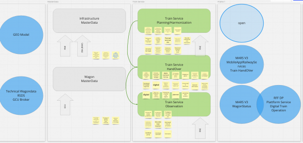
SOL
Mapping GAPs to SOLutions
Between the two workshops the RFF team
- grouped the raised issues from the GAP session and
- attributes proposed solutions to those groups
There were 5 potential solution areas identified:
- POC GEO model for the group infrastructure master data
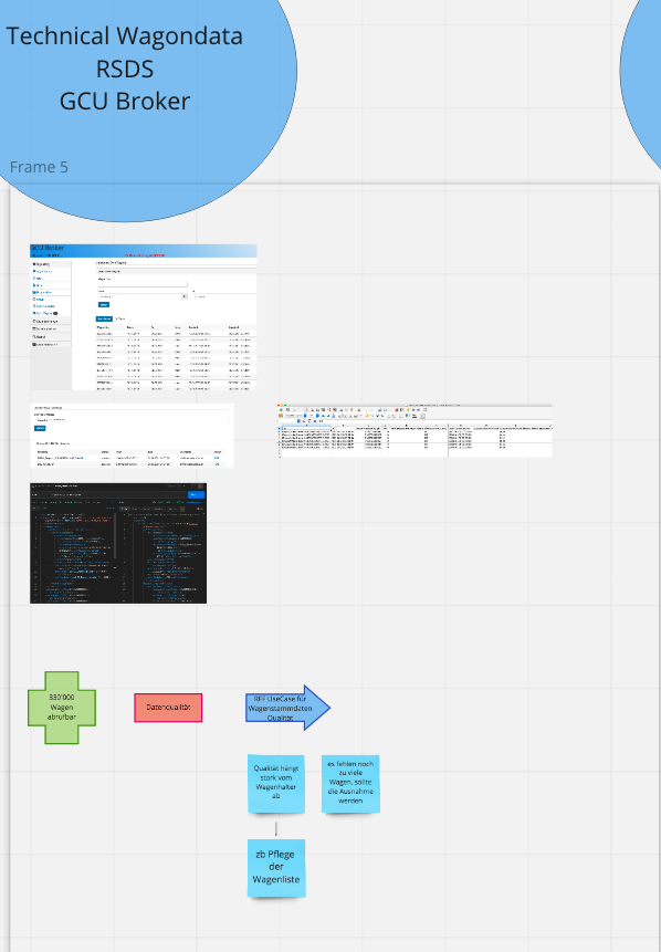
- Technical wagon data for the group wagon master data
- Train Service Harmonization for the group train service planning
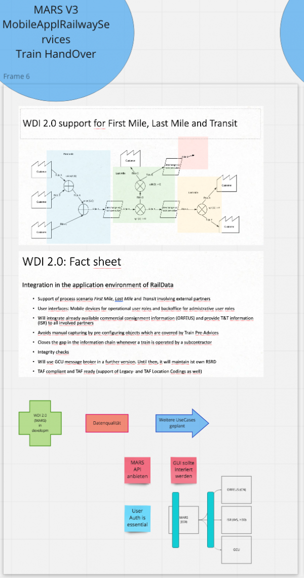
- MARS for the group train service handover and the group train service observation
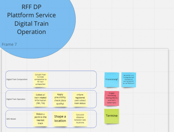
- POC digital train operation for the group train service observation
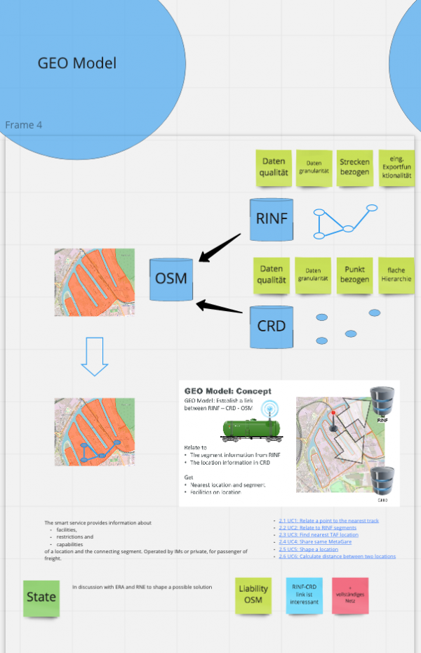
POC GEO Model
The GEO Model concept foresees to
- link the existing infrastructure databases
- benefit from the open source community driven OpenStreetmap database [1] for railway related information
- aggregate this information and
- offer service
- for translation
- for catching network points & segments
- for calculation of distances
- for facility information
The use cases of the GEO model can be found here.
At the moment several of those services are planned to be realized in early 2022.
Technical wagon data
Train service harmonization
The solution is identified in
- the smart service SM 04 Train Service Harmonization and
- the ambition 2024 topic Train Service Harmonization.
